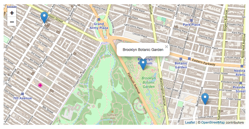
The OpenData wave is in full effect in geospatial data management. Presented as Open source mapping, this collaborative, citizen-led mapping system is challenging critical geospatial data-related issues of accessibility, affordability and accuracy. The ripple effects are being felt across sectors which rely on geospatial data, particularly urban planning, where open mapping is revitalising the planning process by increasing pathways for greater public participation and enhancing access to hitherto restricted urban data.
What is open mapping?

Open source mapping is the umbrella term for the global movement to create free and accessible geographic data. Based on the principles of openness and collaboration, this approach leverages collaborative efforts from a community of users who contribute to and maintain the mapping data and software tools. Open mapping differs from traditional proprietary mapping in its free and unlimited usage and the development and maintenance of maps and mapping tools by the public.
Open mapping is associated with challenging the status quo of data exclusivity. It gained widespread popularity with the development of the Open Street Map project, a free, open geographic database updated and maintained by a community of volunteers via open collaboration. The project was developed in response to the failure of the Ordnance Survey, the United Kingdom’s national mapping agency, to release its data to the public under free licences in 2004. Since then, open mapping and OSM have been adopted to champion decentralisation and inclusivity in geospatial data management.
The benefits of OSM are implied in its name—openness, which underpins the three significant features that have influenced its wide adoption. Accessibility—anyone can contribute to OSM; it is free and easy to use. Dynamism—the dynamism of open data is also a major selling point, as OSM platforms allow for real-time data updates. Transparency—open source mapping promotes transparency in data collection and sharing. These features facilitate an increased volume of detailed and timely geospatial data.
Transforming urban governance with open mapping
Open mapping allows urban governments in the global South to embrace a democratised urban governance approach that fosters a more inclusive, transparent, and responsive planning process. It provides an easy and cost-effective solution to addressing the challenges of inaccuracy and inaccessibility faced by traditional mapping in these countries. The emphasis on openness and collaboration is critical to the clamour for democratising the mapping process, where governments and citizens can collaborate to co-create real-time and dynamic geographic maps and data to inform urban governance.
Open source mapping also has the capacity to kickstart the transition of the urban planning process to a pro-participatory approach. By providing a medium for broader stakeholder engagement in planning processes, open mapping elevates citizen participation from passive participants to active partners in urban governance, leading to more nuanced and effective planning that reflects the lived experiences and local knowledge of residents.
Application of open mapping
Open mapping has been successfully integrated into different facets of urban governance worldwide. The Humanitarian OpenStreetMap (HOTOSM) platform has been utilised to strengthen emergency responses and disaster planning, where citizens map vulnerable areas and track relief support during natural disasters. In Nigeria, open mapping was the central feature of the Shogunle Water Charter project, implemented by the Just City Project, which sought to bridge gaps in water infrastructure within the community.
However, the current open mapping wave should not lead to the total disregard of proprietary mapping, especially regarding the expertise this traditional mapping style provides. These approaches are better adopted as complementary, leveraging the accessibility, inclusivity, and real-time capabilities of open mapping and the professional expertise of proprietary mapping to achieve more comprehensive and effective outcomes. Open mapping can be utilised for data collection. In contrast, proprietary mapping tools can be employed for more advanced analysis and visualisation, thereby balancing cost reduction and functional sophistication while enhancing community engagement.
Cities worldwide are transitioning to a planning process built on the core principles of access, community participation, and inclusive decision-making. A hybrid mapping approach that integrates both systems and upholds these principles offers an exciting pathway for developing countries to usher in sustainable urban growth.

